Thank you all for all the great input, really helpful and here is a new version that I hope is a huge improvement.
I have now spent time to work on the styling as well, since I have a hard time looking at things half done.
The map is now surrounded by a half inch border that that can take care of all the frills, keeping the map area free from other stuff. The example also includes 0.25 inch bleed.
The border is home to mini map that I hope is not too small, scale, a little north arrow, page directions, credits, page number and major labels from the map that are missing from the map.
Fiddling around with the layout of the atlas pages. I've decided to try an 11x17 landscape format this time and I'm trying to minimize the page "frills" like the scale.
Here I'm trying small arrows along the edges telling you want page the map continues to. I've also skipped the minimap. A minimap takes up a lot of page real estate and most of us are familiar enough with the setting so the need is not that great. What do you guys think?
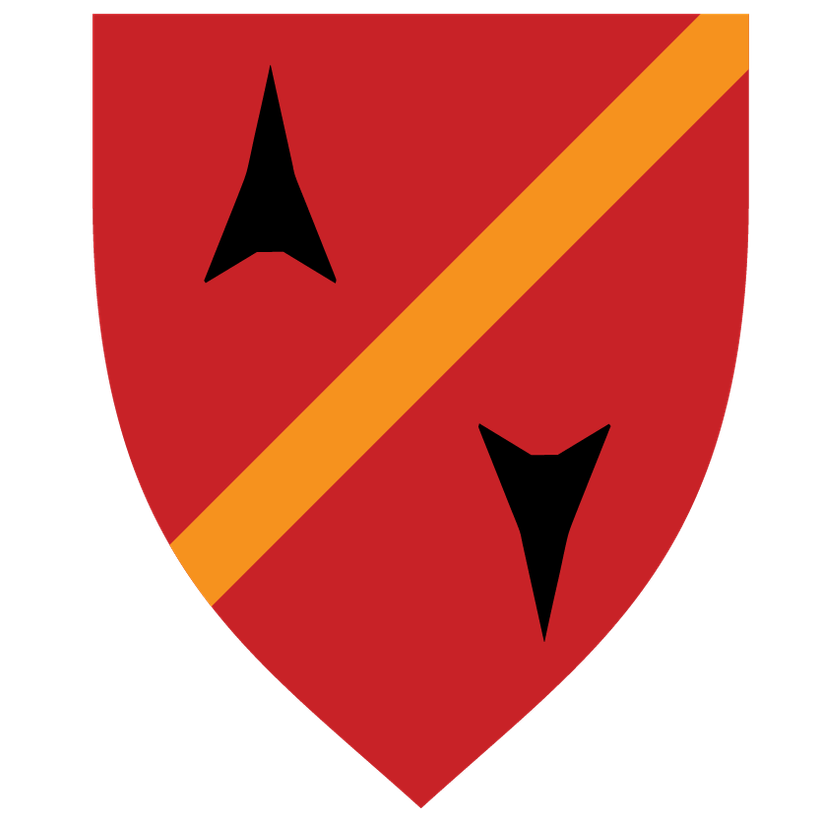
Time for the first of my Gary Con - 50 Years of D&D bonanza, two heraldry compendiums and a bunch of more shields, 60 new ones all in all. They cover historic Flan and Oeridian crests, or more correctly my version of what they could look like.

I'm running short on time packing and getting as much as possible done before I jump on my flight in a few hours when this post goes live, so I will come back to what are behind the design of these but I hope you like them as much as I do!
Here are the Oeridians with a lot of familiar names from Greyhawk lore...

The shields used in the Compendiums are what the shields looked like in their prime. In the zip file aged versions are included as well when appropriate.
Here are the download links:
https://annabmeyer.com/Downloads/Heraldry/Flan%20Heraldry%20-1.jpg
https://annabmeyer.com/Downloads/Heraldry/Oeridian%20Heraldry%20-1.jpg
Zip file with all the shields (647MB)
https://annabmeyer.com/Downloads/Heraldry/Heraldry%20March%202024.zip
Time for some housekeeping, here comes a very disparate selection of heraldry I have created for my own campaign, and some that have made it on the the Flanaess map that I forgot to add add to my heraldry folder: http://bit.ly/GHheraldryfolder
First out is the heraldry symbol I saw on the image on the cover of the boxed set, and I reused the banner of the knight to be the old shield of the city of Highport.

Next is Badwall, which is my own design. My thinking behind this is to keep it simple and geometric like many of the other settlements and especially Fax.

And another one from the Boxed Set cover image that I made into the symbol of Cantona, another of the Wild Coast town.

Next up is another one of my own design that was inspired by the map of the ancient Elven Realms described and mapped by Mike Bridges, the elven realm in Vesve Forest - Taaranalle that still exists in my campaign. The design is also inspired by the Lendore heraldry from the Living Greyhawk campaign.

Next is from my Rel Deven Campaign and is the heraldry for the Marchland of Chathold detailed in Ivid the Undying.

Below is heraldry from my upcoming Shield Lands 598 CY campaign for Axeport that in my campaign is now a seat of a new barony.

You can't play a campaign in the former Shield Lands in 598 CY without including Iuz, so here comes some of the Iuz related shields I created. First out is the humanoids of the Gensal Hordes.

Next is the infamous Black Death.

and the Shadowclaw.

and the Boneshadow..

and one of my favorites, General Sindol...

and the old Phalanx...

And here is one of my own design that is on the 576 CY map but I forgot to add to the heraldry folder until now, the viceroyalty of Ferrond.

Last but not least is another of my favorites inspired by the cover image of Ivid the Undying. I interpreted it as the symbol used by the Ivid Overkings.

A bit unorganized and most of it is straight from my own campaign but I hope this heraldry can be useful for you as well.
Stay Safe and thank you all for your support, it literally keep me online and the lights going here! 🙂
Here comes a quick "greyscale" version of the Flanaess 576 CY map.
You can get it here: https://www.dropbox.com/s/ef1nu0bw8q7b0tc/Flanaess%20Full%20Map%20576CY%20Grey%20-%202020.jpg?dl=0
Create your own maps showing Politics, Trade, Religion or anything else You need for Your Greyhawk Campaign!
Blend with Terrain Map, Parchment or any color you want!
Layered PSD Format compatible with GIMP, and use Layer Styles and included masks to get the look you want!
Four sizes 800 pixels, 3K pixels, 8K pixels and full resolution at 20K pixels!
You can get them all here: bit.ly/GH-FlanaessSpreadMaps576CY
The goal of today's efforts is both to better model the coastlines of Oerth and also to refine the workflow. There are many ways to go about this, but I'm more and more starting to like using Photoshops ability to pain directly on a sphere. This way it is possible to work without distortion which is especially useful around the poles.
The first stage is to get all the coastlines and major islands in place. The the major mountain ranges that are on existing maps. Then I will move into plate tectonics and ocean depth, which will give me enough to start looking into climate and biomes.
I hope you are all safe and in good mood, and have chance to do some extra gaming. I'm trying to get as much as possible done before Virtual Gary Con kicks off in a few days. First order of the day is to get this one out of the door - The Rivers of the Flanaess Map, and this is good enough (I hope!) to be labeled as a Release Candidate.
You can get it here:
It is an non-hexed JPG version but I have both a 12- and an 30 mile hexed versions as well as layered PDF.
First a huge thank you to all of you who have important jobs keeping the world functioning in dire times like this!
I'm already working from home so isolation is only a small change for me, and there are worse places to be forced to stay than a suburb in southern California so I'm one of the lucky ones in this and I'm very aware of it. There isn't much I can do in this situation except trying to make use of the opportunity to create more and also to make sure that everyone who would like to use my maps to enhance their games should be able to do so. I know many of you are living through uncertainties that are way worse than me so now its not the time to hide anything behind paywalls and require anyone to pay me anything to get early access.
Until this crisis is over I'm going to keep all my patron posts public and release all the content for everyone to enjoy right away. I'm relying on my patreon money more than ever, but I think this is the right thing to do. So if you need to look over your expenses I totally understand and for those of you who can continue to support me, I'm VERY grateful.
When this is over I will restructure my Patreon a bit, but that is on hold. Now is the time for me to help you guys run fun games as much as I can. So here are my plans for the near future.
Today
DM's Roundtable 7:30 PM EDT
http://www.twitch.tv/lordgosumba
Tomorrow
Rivers of the Flanaess 576 CY 2020 Edition - Release Candidate 1
Wednesday
Legends & Lore Show Ep 43 8pm EDT
http://www.twitch.tv/lordgosumba
Virtual GaryCon XII
Friday 27th
My Fantasy Cartography Seminar 6-8pm CDT
http://www.twitch.tv/lordgosumba
Celebrating Greyhawk - A fandom Renaissance 8-10pm CDT
http://www.twitch.tv/lordgosumba
Saturday 28th
Who's map is it anyway - 2pm CDT
Saturday Night Special Game 6pm CDT
http://www.twitch.tv/lordgosumba
Sunday 29th
Freelancing 101: Writing and Illustrating for TTRPGs - 2pm CDT
https://tabletop.events/conventions/gary-con-xii-virtual-tabletop-gaming/schedule/375
There will be more content releases, blog posts and streaming events several times every week.
Thank you all for helping me do this!
Stay safe and I hope you will have some fun time gaming 🙂
Please come and join me Friday the 27th for my Virtual Gary Con Seminar! On the official Virtual Gary Con or Lord Gosumba Channel at 6PM CDT. Jay Scott will help me stream and keep up with questions and such, and you are all very welcome!
It will be two hours on mapping techniques, projects, pitfalls, and much more. If you have any topics you want me to cover, please add them here so I can prepare or ask them during the show!