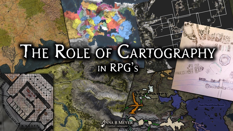
Maps are an essential part of most roleplaying games and how we use them. From the grandest setting to the tiniest dungeons, maps guides the game and show us where our heroes, and the villains, are. Maps can do more than show locations, a lot more that are not as obvious but can enhance your game.
One of the main characteristics of all fantasy worlds are the fact that it only exists in our imagination, and this makes how it is mapped even more important. We can only interact with it thought some form of, description, image, map, chart etc. Depending on our preference these various forms become the key campaign planning tool. For me as a highly visual person maps are my preferred method of discovering the world, and a text about Greyhawk without a map lacks that critical visual component. Maps are my canvas for the stories I want to weave.

To have a detailed visual view of the lands that a great map are a huge inspiration for me and since I couldn't find what I was looking for I decided to try and create it!
Now two decades later and thousands of mapping hours later I have learned to maps can be so much more than pretty pretty and accurate pictures. Change some of a maps features and it can play whole new and interesting roles in your games.
By changing the text and symbols to something weird and unintelligible, you can make the map become puzzle that needs to be translated, leading to more adventures to find out what it hides. False information leads astray making it a kind of trap.

Outdoor adventuring was barely covered at all in the early days of D&D, which seems a bit strange to me considering its roots in wargaming that usually simulated outdoors battles. It was not until AD&D1E Wilderness Survival Guide that comprehensive rules for adventuring outdoors was introduced to the game. Maps really suited to outdoor adventuring have not evolved to the same degree as dungeon maps. Mapping underground or indoor environments evolved quickly and became a standard in D&D early on, but outdoor maps not so much. Even today its hard to see a trend towards comprehensive detailed and easy to use map of outdoor areas from game publishers. Great maps can be found, but rarely at the same standard a dungeon maps, and they either cover large areas using simple (but great looking artistic) symbols or super detailed renditions of tiny areas.

It is time to try and bridge this gap y creating useable and somewhat standardized maps for overland adventuring and travel. For this I will look into the world of orienteering and military maps for inspiration and guidance. A fantasy version of these types of maps would be very useful for a lot of gamers in running their campaigns.
Combine a fantasy style orienteering map with a top down and perspective image of the area and you have a great aid for, travel, exploration and encounters in the outdoors. Making outdoors an equally interesting gaming environment.

Cartography that are either high in realistic detail, or done beautifully have an esthetic quality in itself and will cross over into the territory of illustration. This aspect are often used by publishers to promote products on covers and posters, and it works. Most of us gamers have a love for maps and like looking at them even when we are not directly trying to use them as maps.