Time to take a look at my first proposal for how to divide up the Flanaess for a 11x17 landscape layout Atlas. Each page has an effective map area of 16x10 inches, which is the green squares. I've added in half an inch overlap on all sides, which is the inner pink squares on the layout image.
I'm also thinking about having a few portrait pages and here is a test of how a portrait page layout would look.

I've added a extra 0.25 inch margin for binding on one side in addition to the 0.25 inch bleed on all sides.
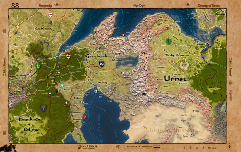
Below is a landscape pages with the added binding margin for left and right


For the real pages I'll try and either adjust large labels that are only partially on the page or remove them and use a bordern note instead. For example ocean and country names, if there are room I'll move them fully onto each page, otherwise I'll remove them and make a side note.
So is this a workable way to divide the Flanaess?